The Map component allows end users to analyze data based on geographic location. It can only be used if your data includes at least one geospatial attribute.
The component contains a list of locations on the left, and a map on the right. On the map itself, colored pins mark the locations displayed in the list.
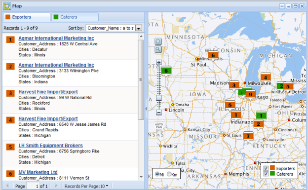
The locations may represent the full data set, or a set of locations generated from an EQL query. For example, the component could display the locations of supplier warehouses in relation to the locations of outlet stores.
