Selecting the map layer type
By default, a new map layer is a numbered point layer. After you create the layer, you can select the type of layer.
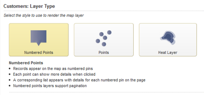
The available layer types are:
| Layer Type | Description |
|---|---|
| Numbered Points | Displays each location on the map as a numbered point.
The numbered points are also displayed in a corresponding list. End users can page through the list of numbered points. This is the default layer type for a new map layer. |
| Points | Displays each location on the map as a point. |
| Heat Layer | Can display:
End users can display one or the other or both. |
On the Layer Type tab for a layer, to select the layer type, click the icon for the type.
