Determine the Size of Geometries
You can run a spatial analysis to measure the size of the geometries on your map layer.
The analysis operation returns the size of the geometries in bytes. These values are stored in a new dataset column. Perform the following steps to measure the size of the geometries.
The instructions assume that you have a dataset with point geometries displayed on your Active Project page.
-
Click
 against the map layer whose coordinates needs to be filtered in the Layers tab.
 -
Select Spatial Analysis.
The Spatial Analysis Operations slider opens.
-
Click on the Measure tab and select Calculate geometry storage size in bytes.
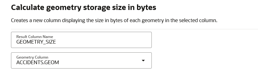
A slider opens as shown:
-
Optionally, modify the Result Column Name.
-
Select the Geometry Column from the drop-down list to compute the geometry size.
-
Click Run.
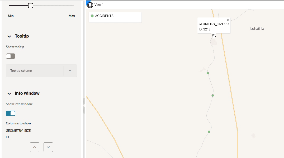
The Analysis result is added as a new column to the dataset in the Active Project page. You can then interact with the map to view the size value through tool tip or info windows. For example: