Import address and parcel conditions from GIS layers
Instead of manually identifying properties that are subject to conditions and adding those conditions individually, agencies can configure mappings between GIS layer values and Oracle Public Sector conditions.
During the Load Property Information from GIS process, the system uses those mappings to identify applicable GIS conditions and add them to the corresponding address or parcel record.
The GIS to property import mapping setup is enhanced and includes two entries:
- Parcel Conditions
- Address Conditions
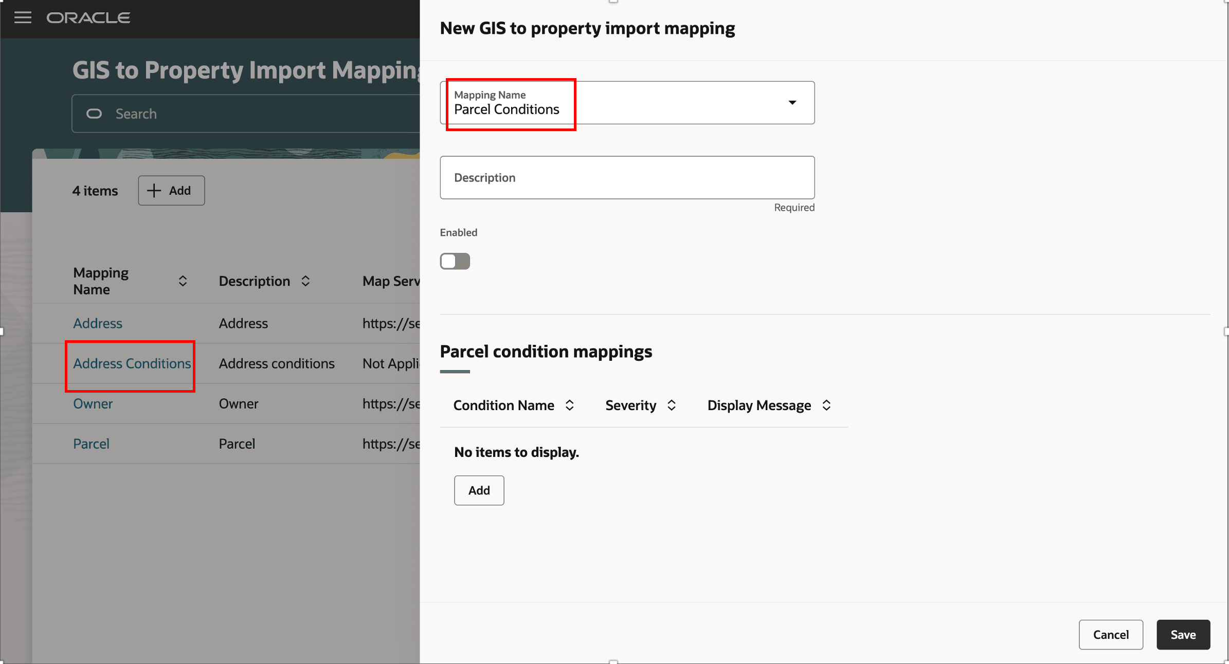
New GIS to property import mapping
Business Benefit: Agencies can synchronize property conditions from authoritative GIS data rather than manually maintaining conditions in Oracle.
Steps to enable and configure
You don't need to do anything to enable this feature.
Tips and considerations
During import, the conditions based on mapping are applied to the respective Parcels and Addresses, but are not propagated to already associated transactions.
Key resources
- See Implementing Your Cloud Integrations, "Setting Up GIS", Setting Up GIS to Property Import Mapping