Activity Location Precision Handling
Effective from 25B, the activity coordinates provided by the geoprovider are permanently stored, irrespective of their accuracy. Oracle Fusion Field Service determines whether to utilize these coordinates based on the size of the activity location area provided by the geoprovider.
The Ignore coordinates with accuracy less than the following parameter has been removed from the Business Rules page and is no longer used to determine whether an activity is marked as found.
How it works
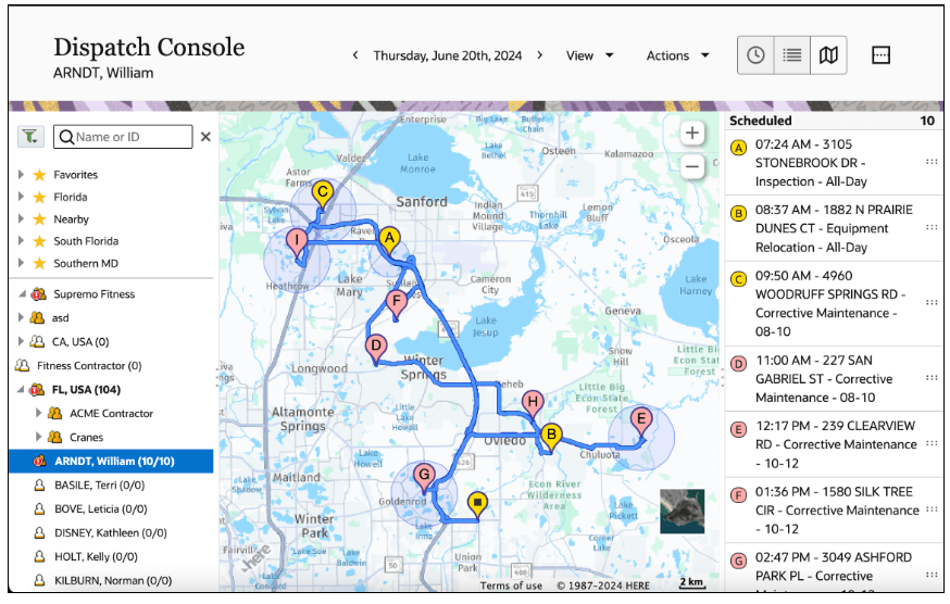
Activities on the map view are displayed based on their accuracy.
- Activities with HIGH accuracy remain unchanged. They continue to have Coordinate Accuracy values of Address, Intersection, or Provided by the customer and are shown as bubble pins on the map.
- If the Coordinate Accuracy is not HIGH and the scheduled activity is in a relatively small area (3 kms or less), the activity is displayed as a bubble map pin with a blue radius indicating the size of this area.
- Activities in vast areas (larger than 3 kms) are not shown on the map.
- The presentation of Nearby, Non-scheduled, and Suggested activities on the map remains unchanged. They are displayed with configured map markers without blue circles.
Dispatch Console
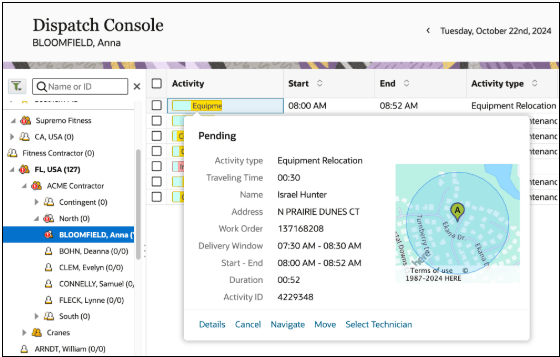
Dispatch Console Activity Location Precision
Business Benefit
- Simplified configuration with fewer Business Rule parameters.
- Streamlined quick start implementation with out-of-the-box Routing.
- Improved usability and awareness of activity location accuracy.
Steps to Enable
You don't need to do anything to enable this feature.
Tips And Considerations
N.A