View Location Information for a Device or Edge Node
The Location tab on an individual device or edge node page helps you review location details for that hardware item and provides access to the location update workflow.
The Location tab displays deployment coordinates and a map centered on the deployment location. When applicable, the item details pane on the left displays Registration Address. If no deployment address is available, the page displays Address Not Available and continues to display the deployment coordinates and marker.
The item map does not display registration coordinates. It displays the deployment marker and, for a supported MDM-enabled device, can also display the existing GPS-location marker. Click Edit (pencil icon) to open the Update location drawer, where you can manage deployment and registration location information. When the deployment and registration addresses differ, the drawer also displays a home-shaped marker for the registration address.
Figure 8-1 Location Tab Showing Deployment Location on a Device
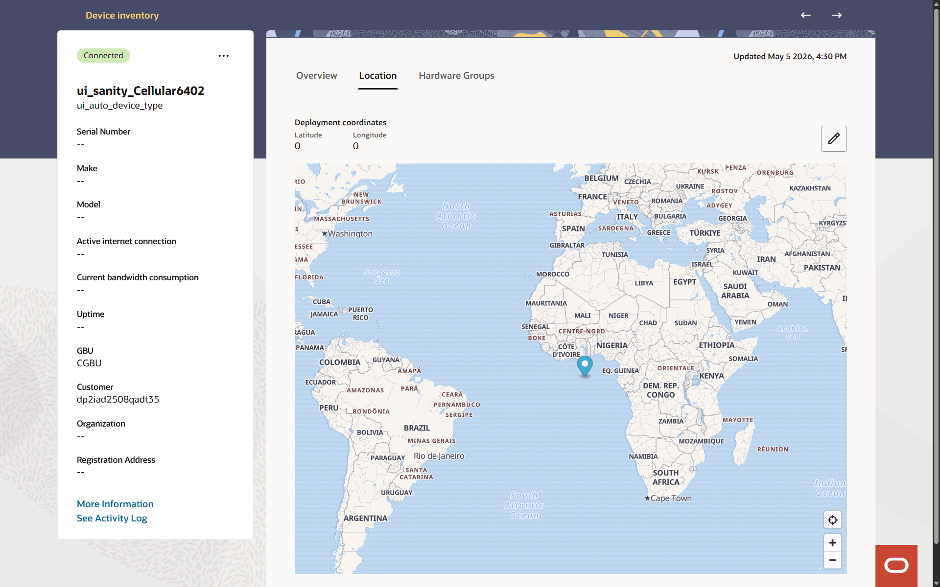
When location details are available on the map, the deployment location appears as a pushpin marker that provides additional location information.
When GPS location reporting is enabled and Oracle Enterprise Communications Platform (Oracle ECP) has received a usable GPS position, a blue circle identifies the latest reported location. The deployment marker remains visible for comparison.
Place the pointer over the blue GPS location marker to view Latitude, Longitude, Last updated, and Refresh frequency. Oracle ECP also displays Address when it can resolve the coordinates to an address.
If the last reported position is more than 24 hours old, the blue marker contains an exclamation point. If reporting is enabled but Oracle ECP does not have a usable position, it displays Device's location is not available or Edge node's location is not available.
Map Tools
The map on the Location tab includes a small set of controls for moving around the map and returning to the selected location. You can also drag the map to view a different area.
Table 8-1 Map Tools
| Control | Icon or Label | Description |
|---|---|---|
| Zoom In | + | Increase the map zoom level. |
| Zoom Out | - | Decrease the map zoom level. |
| Reset Zoom |
Figure 8-2 Reset Zoom icon  |
Return the map to the default zoom level or bring the selected location back into view. |
| Recenter |
Figure 8-3 Recenter Icon  |
Return the selected location marker to the visible map area. |