3.6.1.5 Creating a GeoJSON URL Dataset

You can create a dataset by specifying a GeoJSON URL.

It is important to note the following prior to creating a GeoJSON URL dataset:

  • A GeoJSON URL based dataset accesses its data directly from the source URL. There is no database table managed in Spatial Studio for this dataset.
  • A GeoJSON URL based dataset does not support Spatial Analysis.
  • A GeoJSON URL based dataset is subject to the same upload size limit, or 100MB, whichever is smaller.
  • If a GeoJSON URL does not support CORS (Cross-Origin Resource Sharing), then Spatial Studio will act as a proxy to the browser requesting the GeoJSON URL data.
Perform the following steps to create a GeoJSON URL dataset:
  1. Navigate to the Datasets page.
  2. Click Create Dataset.
    The Create Dataset window opens.
  3. Select the From GeoJSON URL option.
  4. Specify the GeoJSON URL to access GeoJSON data from an external domain for map visualization.

    Note:

    Ensure you add the external domain used for accessing GeoJSON data to the list of entries in the Safe Domains list.
  5. Click Create.

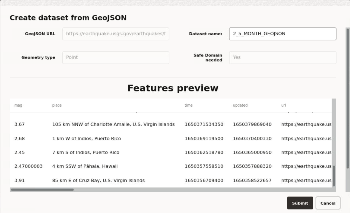
    Create dataset from GeoJSON window opens as shown:

    Figure 3-13 Creating a Dataset from GeoJSON

    Description of Figure 3-13 follows
    Description of "Figure 3-13 Creating a Dataset from GeoJSON"
  6. Optionally, enter a Dataset name.
  7. Click Submit.

    The GeoJSON URL dataset gets created with the warning, No key column was found. You must resolve the warning in order to use the dataset as a map layer for visualization. See Datasets with Issues for more details to resolve the warning.