3.6.1.3 Creating a GeoRaster Dataset

Spatial Studio allows you to create Georaster datasets.

You can create a GeoRaster dataset using the following steps.
The instructions assume that the GeoRaster data is already existing in your database schema.
  1. Navigate to the Datasets page and click Create Dataset.
  2. Click From table/view, select a Connection and click Create.
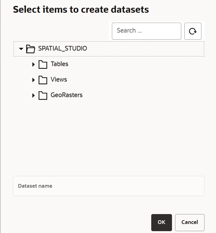
  3. Click GeoRasters, select the required GeoRaster table and click OK as shown:

    Figure 3-11 Creating a GeoRaster DataSet

    Description of Figure 3-11 follows
    Description of "Figure 3-11 Creating a GeoRaster DataSet "
    The Geo-raster Configuration dialog opens.
  4. Choose a Selection Mode.
    The values for the selection mode are:
    • Single Raster
    • Virtual Mosaic
  5. Select the GeoRaster column for visualization if you have chosen the Single Raster mode. Otherwise, you can skip this step.

    Note:

    If you have chosen the Virtual Mosaic mode, all the Georaster columns are included in the visualization.
  6. Click OK.
    The GeoRaster dataset is configured and the newly created GeoRaster dataset is displayed as a row in the Datasets page.